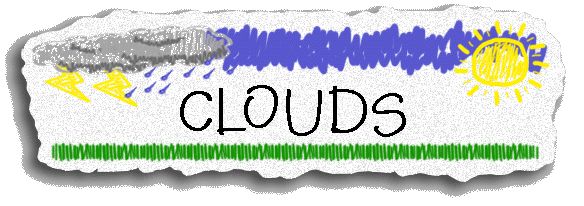
We have had our “heads in the clouds” lately, but
we aren’t daydreaming! The 4th
graders have been learning about different cloud types and what type of weather
we should expect. Read on to see what we
learned!
 In
our science books, we learned about the 3 main types of clouds: cirrus,
cumulus, and stratus.
In
our science books, we learned about the 3 main types of clouds: cirrus,
cumulus, and stratus.
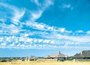
Cirrus clouds
are thin and wispy. They are so high up
in the air that the water in them is ice!
Cirrus clouds can be seen on nice days.
Sometimes, they mean that weather change is on its way.
Cumulus
clouds are fluffy and flat on the bottom. These are the type of clouds we often think
look like different shapes and objects. Cumulus clouds usually mean fair weather.
Stratus
clouds are flat clouds that form in layers. They look like a blanket of gray is covering
the sky. These type
of clouds produce light rain, drizzle, and snow.


cirrus cumulus stratus
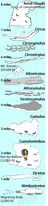
There are also many other cloud types that are
subtypes of the 3 main ones. Look at the
diagram on the left to see the different types of clouds. You should know what a cumulonimbus cloud
looks like because that can mean thunderstorm or tornados!
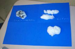
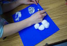
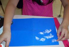
Making Cloud
Diagrams
We used cotton balls and
glue to create diagrams of the different cloud types.

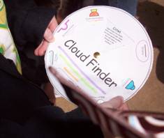
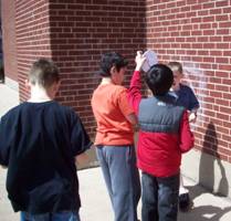
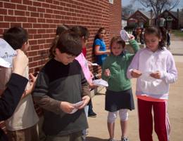
Observing
Clouds
We used a cloud key to
help us identify clouds in the sky. We
wrote down our daily observations.
Click here
to print out the cloud key and start identifying your own clouds!

 Back
to Mrs. Kanas’s Classroom Homepage
Back
to Mrs. Kanas’s Classroom Homepage